| Kumru | |
|---|---|
| — District — | |
| Location of Kumru within Turkey. | |
|
Kumru
|
|
| Coordinates: | |
| Country | Turkey |
| Region | Black Sea |
| Province | Ordu |
| Government | |
| • Mayor | Ticabi Civelek (AKP) |
| Area | |
| • District | 363 km2 (140.2 sq mi) |
| Elevation | 618 m (2,028 ft) |
| Population (2000)[1] | |
| • District | 44,307 |
| • Density | 122.06/km2 (316.1/sq mi) |
| • Urban | 18,057 |
| Time zone | EET (UTC+2) |
| • Summer (DST) | EEST (UTC+3) |
| Postal code | 52xxx |
| Area code(s) | 0452 |
| Licence plate | 52 |
| Website | www.kumru.bel.tr |
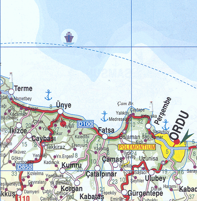
Kumru is a town and district of Ordu Province in the Black Sea region of Turkey. According to the 2000 census, population of the district is 44,307 of which 18,057 live in the town of Kumru.[1][2]
Contents |
The district covers an area of 363 km2 (140 sq mi),[3] and the town lies at an elevation of 618 m (2,028 ft).
Kumru is a small, remote town sandwiched between two mountains, 33 km inland from the Black Sea coast. Ortaca which is locally known as Gebekse meaning Gebe Kilise is a village of Kumru. Ortaçokdeğirmen which got its name from the mills built on the rivers is another village of Kumru. It is located on the sides of Canik mountains and about 15 minutes to Ericek plateau where the most delicious mountain strawberry is naturally grown. It is possible to see 23 shades of green around Kumru and it is almost impossible to see the brown color of earth due to the vast forests.
|
||||||||||||||||||||||||||||||||||